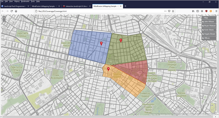
In this blog post we are going to use the CanvasLayer of the JavaScript map library to build a web page that renders a city map with overlay polygons of the districts, covered by various couriers of a company. Each area is a separate in different color. Here is the final result:
MindFusion Company Blog
New releases, step-by-step guides and updates by MindFusion.

