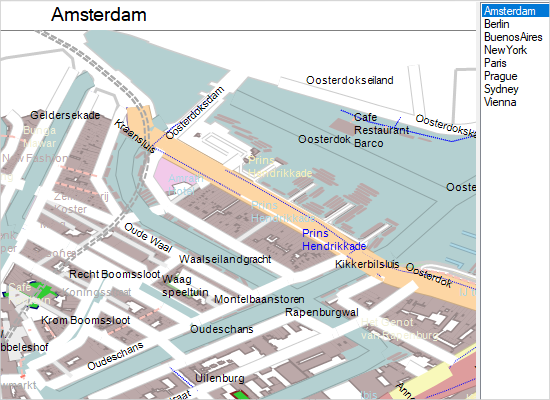
Countries
A list with the world countries and their administrative divisions. You can use the mouse wheel to pan and zoom the map or use the zoom and pan control to the left.

Database
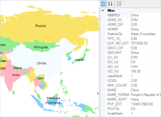
The sample shows data from the dbf database associated with a shapefile. Right-click on a country to show its data in the property grid to the right.
Explorer
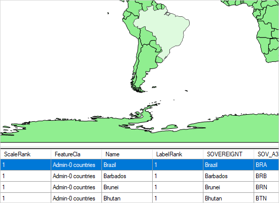
You can select among various *.shp files to be loaded, each one providing different type of map information. Clicking on an object onto the loaded map shows details about it in a grid under the map.
Layers
The sample allows you to place several layers with map data at once. You can add more layers by pointing to new *.shp files.

Markers
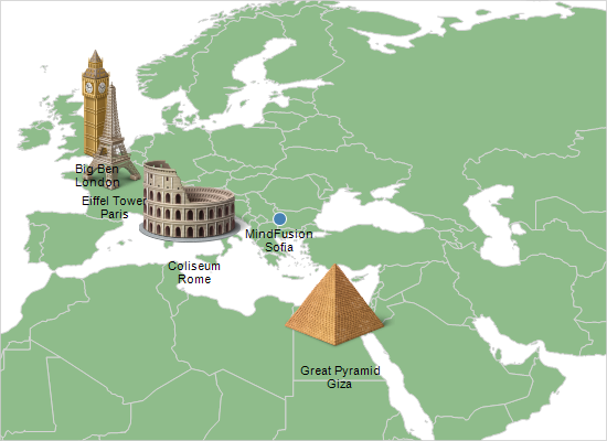
The sample adds custom markers to a map using a DecorationLayer instance. The DecorationLayer can hold images and bubbles (pins) with text.
Palette
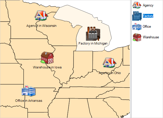
The sample shows how to implement drag and drop from a list of images in a map view. You can drag and drop images onto the map to create decorations.
 Run
Run
 Download
