Countries
This sample shows the administrative division of world countries. You can select a different map from the list on the right. You can zoom down using the mouse wheel and pan the map by dragging with the left mouse button.

Database
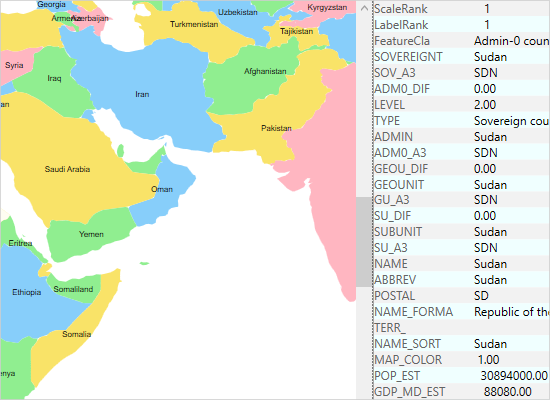
The sample shows data from the dbf database associated with a shapefile. Left-click on a country to show its data in the property grid to the right. Double click to render the Wikipedia article for the country. You can zoom and pan the map.

Explorer
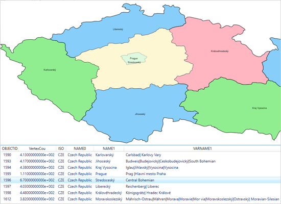
Select a map from the list to load along with its associated database. Once the map is loaded, clicking on a database row highlights the corresponding map shape and highlights the row. You can use the mouse to zoom and pan the map.

Layers
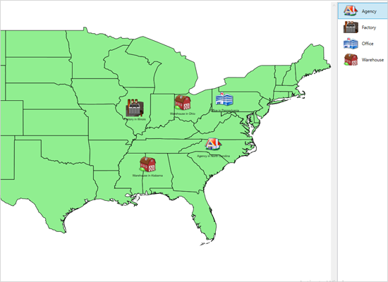
The map control supports unlimited number of layers. This sample shows you how to apply several layers on a single map, how to turn them on and off. Users can zoom and pan the map.

Markers
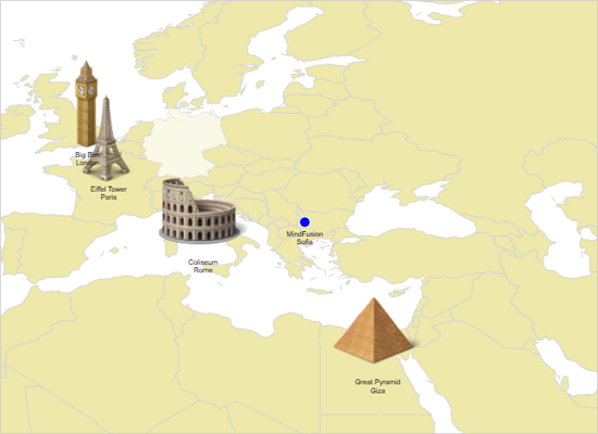
The example shows how to add custom markers to a map using a decoration layer. The DecorationImage and DecorationBubble objects can be associated with given latitude and longitude. The map can be panned and zoomed.

 Run
Run
 Download
